
Surveying
Land Surveying & Construction Surveys
Jones Engineering, LLC, of Southington, Connecticut works with private homeowners, attorneys, title insurance companies, contractors and commercial property owners to satisfy their survey needs.
Land Surveying
Boundary Surveys—To establish property line location. This may be for the transfer of property or boundary disputes. The installation of a fence or planting of trees near a property line sometimes requires a boundary survey.
CONTACT US
Plot Plan—A plan usually needed to obtain building permit. But may just be to satisfy a property owner’s needs.
Topographic Surveys—Required pre-design for large projects to establish existing condition elevations, so that accurate grading plans can be designed. Also required for most plot plans.
ALTA/ACMS Title Surveys—Higher order Boundary Survey used for transfer of properties and to obtain title insurance, usually Industrial & Commercial Properties
FEMA Flood Mapping—Used to Determine Flood Elevations of properties for purchase of Flood Insurance.
ELUR Surveys—Used to stablish Environmental Easements That Are Required by the Department of Environmental Protection.
We also provide:
- Wetlands Surveys
- A-2 Surveys
- Flood Certificate
- Mortagage Surveys
- Fence Surveys
- 3D Scanning
- Arial Surveys
- UAV Surveys
- Drone Surveys
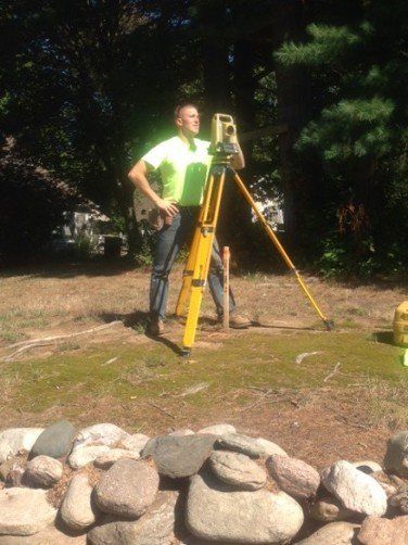
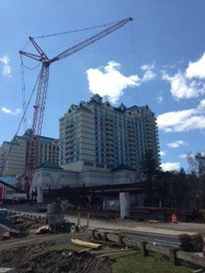
Construction Surveying
Jones Engineering, LLC, provides layout for heavy construction projects such as roads, drainage, sanitary sewers, large commercial sites and buildings. We also specialized in as-built surveys of anchor bolts, embedded plates, steel and other cast-in-place features.
We also provide:
CONTACT US
- 3D Scanning
- Arial Surveys
- Drone Surveys
- UAV Surveys
- Construction Stakeout
Contact us at (860)621-0700 Located in Southington, Connecticut, for Land Survey and Construction Survey Requirements.